Precision For Every Moment
Professional Aerial Data Services
Residential Inspections
Fast, Safe, and Detailed Residential Roof & Property Inspections
Nomad Skies provides professional drone-based roof and property inspections for homeowners, real estate agents, and insurance claims in the St. Louis metro area. Using high-resolution 4K imagery and optional measurement scanning, we deliver clear visual evidence of damage from hail, wind, storms, or wear — without the risks of ladders or scaffolding.
Typical Deliverables:
Comprehensive photo and video documentation
Annotated PDF report with measurements and severity ratings
Fast 24–72 hour turnaround
Key Benefits: Save time and money compared to traditional inspections while getting professional visuals that support insurance claims or property marketing.
Commercial Inspections
Reliable One-Time, Weekly & Monthly Aerial Construction Progress Monitoring
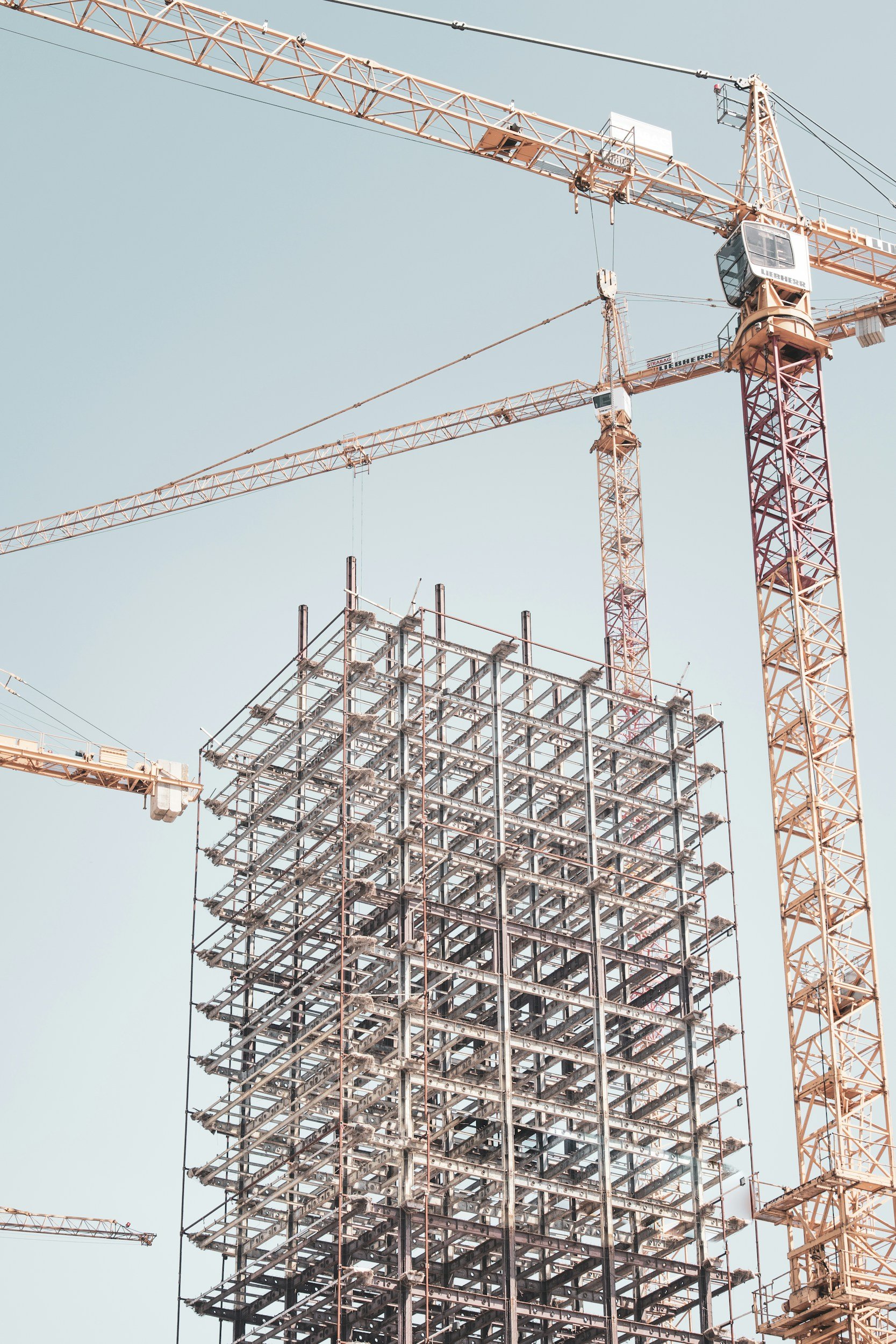
Nomad Skies provides professional drone-based construction site monitoring for general contractors, developers, and project owners across the St. Louis metro area. Using RTK-accurate drone flights and advanced photogrammetry, we deliver consistent, timestamped documentation that keeps projects on schedule, supports billing, and gives stakeholders clear visibility — all while minimizing on-site disruptions and safety risks.
Typical Deliverables Include:
High-resolution orthomosaic maps of the entire site
Progress photos and cinematic fly-through videos
3D models, point clouds, and volumetric (stockpile) calculations
Side-by-side comparison reports against previous flights or baseline plans
Annotated PDF progress summary with safety/compliance observations
Key Benefits: Save significant time and cost versus traditional surveying, reduce risk, and receive marketing-ready visuals that strengthen client presentations and investor updates.
Construction Site Monitoring
Professional, Efficient Commercial Roof & Structure Inspections
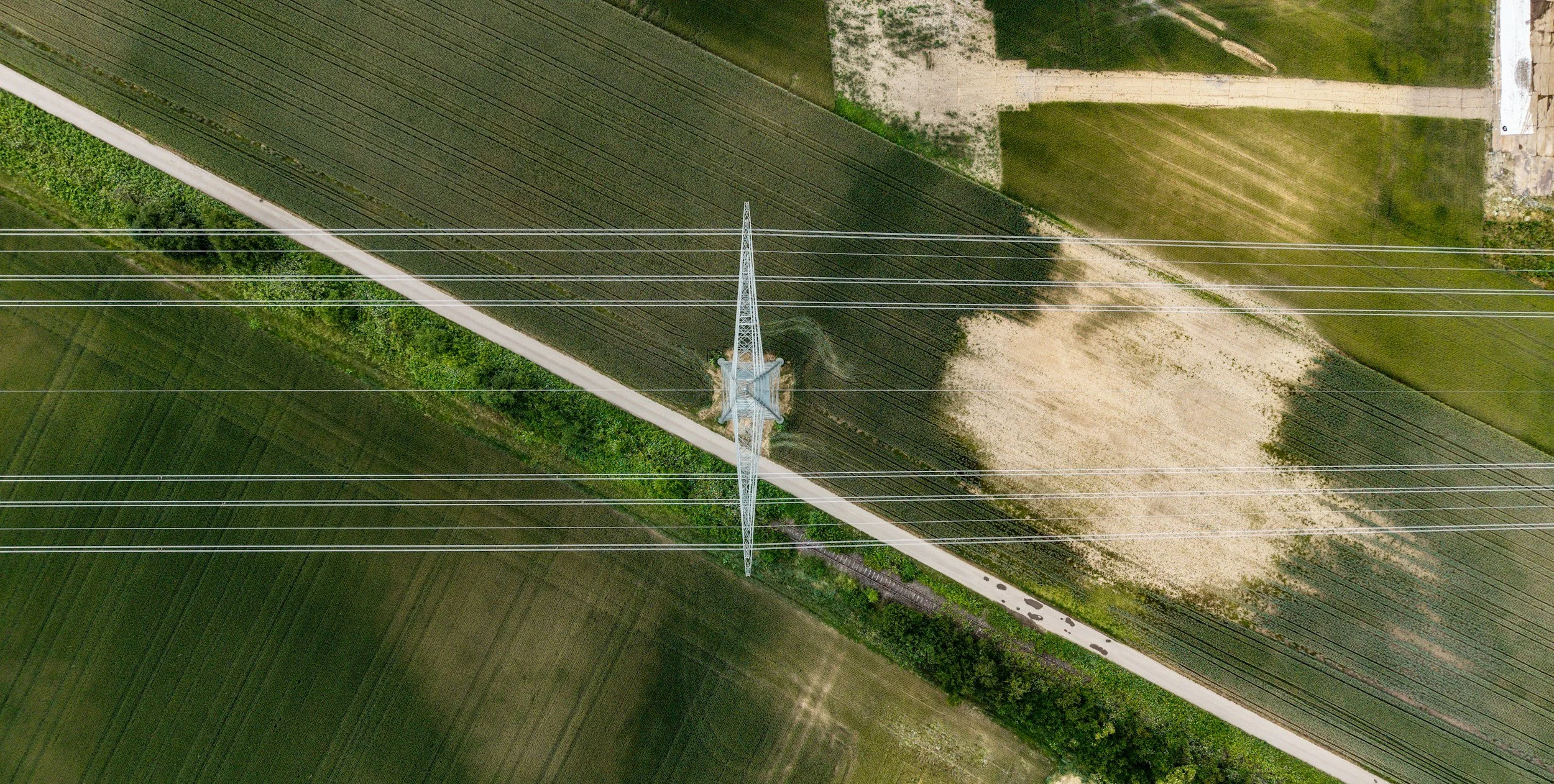
Nomad Skies delivers safe, high-precision drone inspections for commercial buildings, warehouses, retail centers, parking structures, and industrial facilities across the St. Louis metro. Using advanced RTK-equipped drones and optional thermal imaging, we provide detailed documentation of roof conditions, facade issues, structural concerns, and storm damage — without disrupting operations or requiring expensive scaffolding.
Typical Deliverables Include:
High-resolution 4K photos and video from all angles
Annotated PDF report with measurements, severity ratings, and prioritized recommendations
Thermal overlays for moisture detection and energy loss
3D overview models for spatial context (add-on)
Fast 24–72 hour standard turnaround
Key Benefits: Reduce inspection time and costs by up to 50%, improve safety, and receive compelling visuals that support insurance claims, maintenance planning, and stakeholder reporting.
Perfect for property managers, facility teams, insurance adjusters, and general contractors.
Expertise Behind the Lens
As a certified FAA Part 107 licensed drone operator, Nomad Skies combines regulatory-compliant, precise aerial data collection with a photographer’s eye for compelling stakeholder impact.
Clients in construction, insurance, roofing, and property management receive more than standard drone deliverables — they get accurate RTK inspections, orthomosaics, 3D models, thermal reports, and progress monitoring paired with cinematic, marketing-ready visuals that help win bids, support claims, and impress stakeholders.
Precision data meets visual impact. This unique blend allows Nomad Skies to deliver enterprise-grade results that go beyond technical compliance and truly elevate your projects.
Frequently Asked Questions
-
No — clients do not need any special or expensive software to access the vast majority of our deliverables. We design everything for maximum ease of use so busy professionals (GCs, insurance adjusters, property managers, superintendents) can open and share files immediately. Common file types include PDF, JPEG/PNG, MP4, GeoTIFF, or interactive web links.
-
What’s Usually Included in the 3D Overview
Basic 3D Mesh/Model
Textured 3D reconstruction of the building/roof/facade generated from drone photos (using Pix4D or Metashape).
Allows clients to rotate, zoom, and explore the structure virtually.
Key Measurements & Annotations
Distances, areas, and volumes of damaged sections (e.g., “2,500 sq ft affected area on north slope”).
Height and slope measurements for roofing or facade issues.
Visual Integration
Color-coded damage heat map (optional).
Overlay of thermal data (if performed) showing problem areas in 3D.
Export Options
Interactive web viewer link (easy for adjusters to share).
Downloadable file formats: OBJ, PLY, or PDF with screenshots.
-
Nomad Skies maintains comprehensive commercial business insurance designed specifically for professional drone operations. Our coverage includes:
Commercial General Liability — Protects against third-party bodily injury, property damage, and advertising injury.
Drone / Aircraft Liability — Specialized coverage for aerial operations, including hull coverage for our DJI Mavic 3 Enterprise and payload equipment.
Professional Liability (Errors & Omissions) — Covers claims related to data accuracy, reporting, or professional advice.
Equipment & Tools Insurance — Full replacement value protection for drones, cameras, and accessories.
Cyber Liability (optional add-on) — Protection for data breaches involving client deliverables.
Why This Coverage Matters for Enterprise Clients As a FAA Part 107 licensed operator delivering inspections, construction monitoring, and imaging solutions, robust insurance demonstrates professionalism and financial responsibility. It protects both Nomad Skies and our clients (contractors, insurers, developers) from unforeseen risks, satisfies contract and vendor requirements, and safeguards personal assets during our growth phase.
Strong coverage reduces liability exposure, builds trust with larger St. Louis enterprise clients, and supports sustainable scaling — allowing us to focus on delivering high-quality, expertise-driven imaging solutions without unnecessary risk.
-
We combine a thoughtful, human-centered approach with clear communication and reliable results. It’s not just what we do—it’s how we do it that sets us apart.
-
You can reach us anytime via our contact page or email. We aim to respond quickly—usually within one business day.
Initiate a Project Discussion
Submit the inquiry form to outline objectives, timelines, and required deliverables for a tailored aerial solution.
For all other inquiries, please contact info@nomad-skies.com